Elevating Agriculture with Drone-Powered Precision Solutions for Enhanced Productivity
Experience the future of farming with Aerobotlabs Precision Agriculture Services. Our drone-driven insights revolutionize crop management and resource allocation for sustainable and efficient agriculture
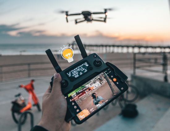
Drone's Roles in Agriculture
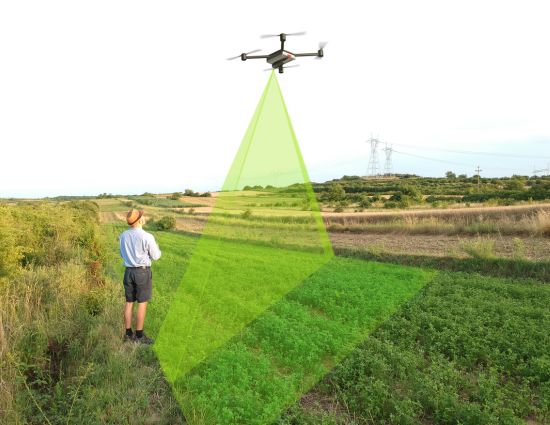
Crop Monitoring
Drones transform crop monitoring, health assessment, disease identification, and irrigation optimization.
Enhanced Irrigation
Utilize drones for precise irrigation, optimizing soil moisture sustainably in agriculture.
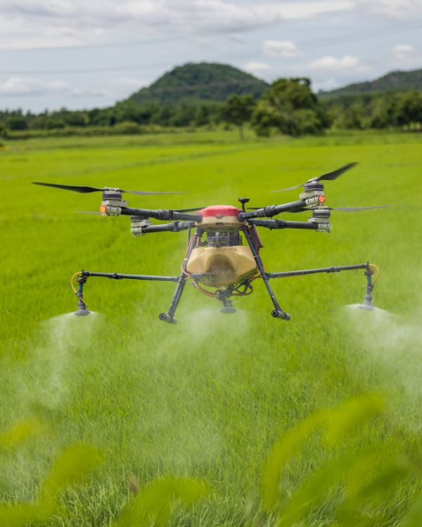
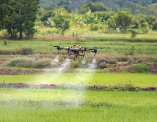
Pesticide Spraying
Enhance pesticide use: drones for precise, eco-friendly, minimal spraying.
Damage Analysis
Drones accelerate crop damage assessment, aiding quick decisions and insurance.
Empowering Indian Agriculture: The Imperative of Drone Technology Support
The integration of drone technology is indispensable for the Indian agricultural system. Drones, equipped with advanced sensors and imaging capabilities, provide unprecedented insights into crop health, field conditions, and overall agricultural dynamics. This real-time data empowers farmers to make informed decisions, optimize resource allocation, and enhance crop yields, addressing the unique challenges of the Indian farming landscape. Furthermore, drones play a pivotal role in precision agriculture, enabling targeted interventions such as precise pesticide application and irrigation management. Supporting drone technology in Indian agriculture is not just a choice; it’s a critical necessity to propel the industry toward sustainable practices, increased efficiency, and improved yields.
Advancements in Agricultural Drone Technology
Multi-Spectral Imaging
Unlock the potential of multi-spectral imaging technology as a game-changer in modern agriculture. Agricultural drones equipped with this advanced feature go beyond visible light, capturing imagery across multiple wavelengths. This capability empowers farmers to gain comprehensive insights into crop health, pinpoint stress factors affecting plants, and identify diseases that might elude visual detection. By extending the spectrum, multi-spectral imaging ensures a holistic view of the fields, enabling proactive measures for precise intervention and optimized crop management. Embrace this cutting-edge technology to elevate your agriculture practices into a new era of precision and efficiency.
LiDAR Technology for Precision Terrain Mapping
Embark on a transformative journey with LiDAR-equipped agricultural drones, revolutionizing terrain mapping for enhanced precision. These drones utilize Light Detection and Ranging (LiDAR) technology to generate highly detailed 3D maps of the landscape. This invaluable resource offers farmers a comprehensive understanding of topographical variations, facilitating optimized irrigation planning, and aiding in strategic soil management. By harnessing LiDAR’s capabilities, agricultural practices reach new heights of efficiency, empowering farmers with actionable insights for sustainable and resource-efficient cultivation. Elevate your precision agriculture strategy with the cutting-edge benefits of LiDAR technology.
Automated Crop Monitoring and Analysis
Experience the pinnacle of agricultural innovation through the seamless integration of artificial intelligence and machine learning algorithms in agricultural drones. These state-of-the-art technologies usher in an era of automated crop monitoring, empowering drones to recognize intricate patterns, identify potential issues, and conduct real-time analysis. In the quest for data-driven decision-making, farmers benefit from these advancements, gaining valuable insights for refined crop management. This section delves into the transformative impact of AI and machine learning in drone technology, showcasing how these innovations reshape agricultural landscapes.
FAQs
Drones provide real-time insights into crop health, field conditions, and irrigation needs, empowering farmers for informed decision-making.
Drones contribute to precision farming by enabling targeted interventions such as precise pesticide application, optimizing resource usage for sustainable practices.
Multi-spectral imaging captures beyond the visible spectrum, helping farmers assess crop health, identify stress factors, and detect diseases not visible to the naked eye.
LiDAR-equipped drones offer precise terrain mapping, creating detailed 3D maps that aid in topography variations, irrigation planning, and soil management.
AI and machine learning in drones automate crop monitoring, identifying patterns and issues, providing real-time analysis for informed decision-making in crop management.