Revolutionizing Surveying Practices with Drone Technology
Explore the transformative impact of drone technology on surveying practices. Revolutionize data collection, achieve unparalleled precision, and streamline operations for enhanced efficiency in the surveying industry
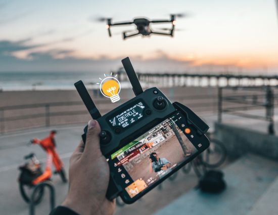
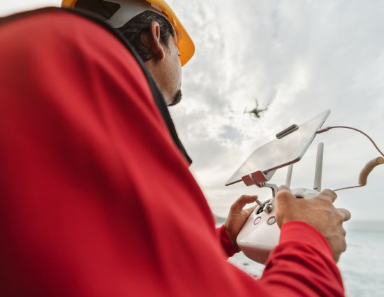
Drone Surveying Technology
GPS Navigation
Drones employ GPS for precise survey location tracking and data.
High-Resolution Cameras
Drones capture detailed imagery for high-quality mapping and surveying.
LiDAR
(Light Detection and Ranging)
Drones with LiDAR use laser light for accurate 3D terrain mapping.
Advanced Sensors
Drones utilize diverse sensors for tasks like thermal imaging, monitoring.
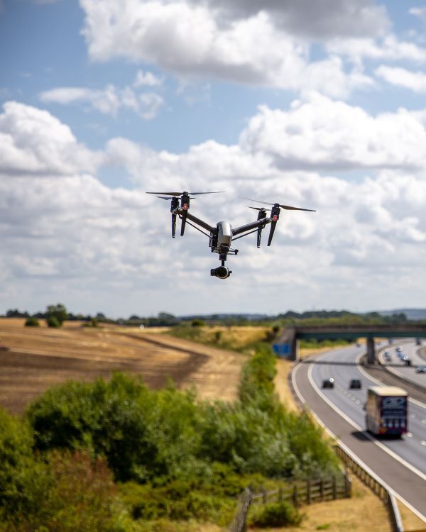
Simplified Surveying with Drones: Redefining Geospatial Efficiency
Drones have revolutionized the field of surveying, simplifying processes and enhancing efficiency in geospatial data collection. With GPS navigation, these unmanned aerial vehicles ensure precise location tracking, eliminating the need for complex ground measurements. Equipped with high-resolution cameras, drones capture detailed imagery, providing a comprehensive view of landscapes and structures. The integration of LiDAR technology enables three-dimensional mapping, offering accurate terrain models. Advanced sensors, such as thermal or multispectral sensors, cater to specialized applications, making it easier to identify specific features or monitor crop health. This convergence of technologies not only simplifies surveying tasks but also significantly reduces the time and resources traditionally associated with the process, fostering a new era of streamlined and accessible geospatial data acquisition.
Elevating Surveying Efficiency with Drones: A Multifaceted Approach
Construction Site Surveys
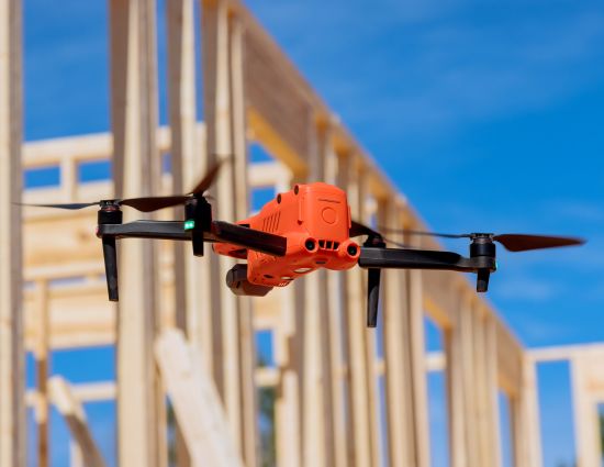
In the construction sector, drones have become indispensable tools, offering a transformative bird’s-eye perspective for project site surveys. Conducting frequent aerial surveys, these devices empower project managers with real-time insights, crucial for informed decision-making and optimizing overall construction management. From their elevated vantage point, drones enable a comprehensive view of the construction site, facilitating early issue identification and deviation detection from the planned timeline. Equipped with high-resolution cameras, they capture detailed images, aiding in progress assessment and documentation. The efficiency and precision of drone surveys empower construction teams to respond promptly to evolving situations, ensuring projects stay on course. Beyond progress monitoring, drones enhance safety by minimizing the need for manual inspections in challenging or hazardous areas, providing a nuanced understanding of the construction landscape.
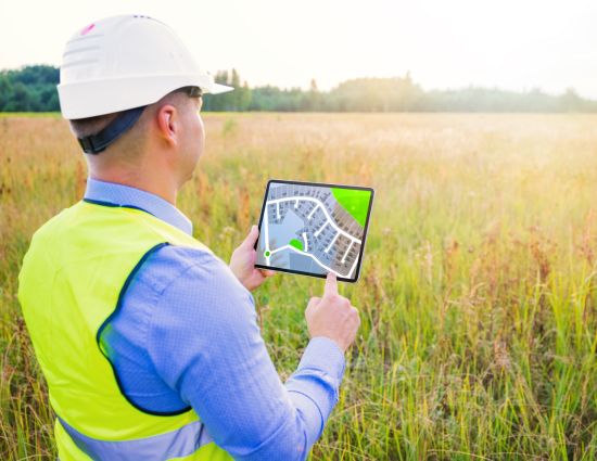
Land Development Surveys
In the realm of land development surveys, drones armed with LiDAR scanners bring forth a revolution, seamlessly creating highly detailed 3D models that capture the intricate features of the terrain. This advanced technology goes beyond traditional survey methods, offering a comprehensive view that aids planners and developers in making well-informed decisions about land use. The precision of LiDAR technology enables accurate mapping of elevation variations, allowing for a nuanced understanding of the landscape. These detailed 3D models become invaluable assets in the planning and design phases, providing insights into topography and aiding in efficient land development. By embracing drone technology, land development surveys benefit from enhanced speed, accuracy, and cost-effectiveness. The real-time data obtained through these surveys allows for proactive decision-making, contributing to optimized land use strategies and sustainable development practices.
Environmental Impact Assessments
In the realm of environmental impact assessments, drones emerge as eco-friendly sentinels, providing invaluable assistance in evaluating landscapes without disrupting delicate ecosystems. Equipped with thermal imaging and multispectral sensors, these unmanned aerial vehicles contribute significantly to ecological studies, allowing for the non-intrusive monitoring of vegetation health and the identification of potential environmental impacts. The use of drones in environmental surveys minimizes human interference, offering a holistic view of ecosystems and habitats. By capturing high-resolution imagery and data, drones enable researchers to conduct thorough assessments, ensuring the preservation of biodiversity and the sustainable management of natural resources. This advanced technology enhances the precision and efficiency of environmental impact assessments, facilitating informed decision-making in conservation efforts and land-use planning.
FAQs
Drones equipped with GPS technology provide unparalleled precision, capturing detailed elevation data and contour information. This accuracy replaces labor-intensive ground surveys, ensuring a comprehensive representation of the terrain.
Drones offer a bird’s-eye view for frequent aerial surveys, providing real-time insights crucial for project managers. This continuous monitoring minimizes delays, enhances construction management, and contributes to safety by reducing manual inspections in challenging areas.
Drones with LiDAR scanners create highly detailed 3D models, facilitating land development surveys. This technology captures intricate terrain features, supporting planners and developers in making informed decisions about land use
Drones assist in environmental surveys by assessing landscapes without disturbing ecosystems. Equipped with thermal imaging and multispectral sensors, they contribute to ecological studies, monitoring vegetation health, and identifying potential environmental impacts.