Article
No Posts Found!
Popular Articles
Finance Management
Banking Investigation
Business Insurance
Consulting
SEO Optimization
Consulting
Banking Investigation
Everything Just Becomes So Easy
Lorem Ipsum is simply dumy text of the printing typesetting industry lorem ipsum.
Explore Now
Most Recent Posts
All Post
Article
Blog
Drone Certification
Industry Trends
Innovations
News
UAV Technology
Back
Category
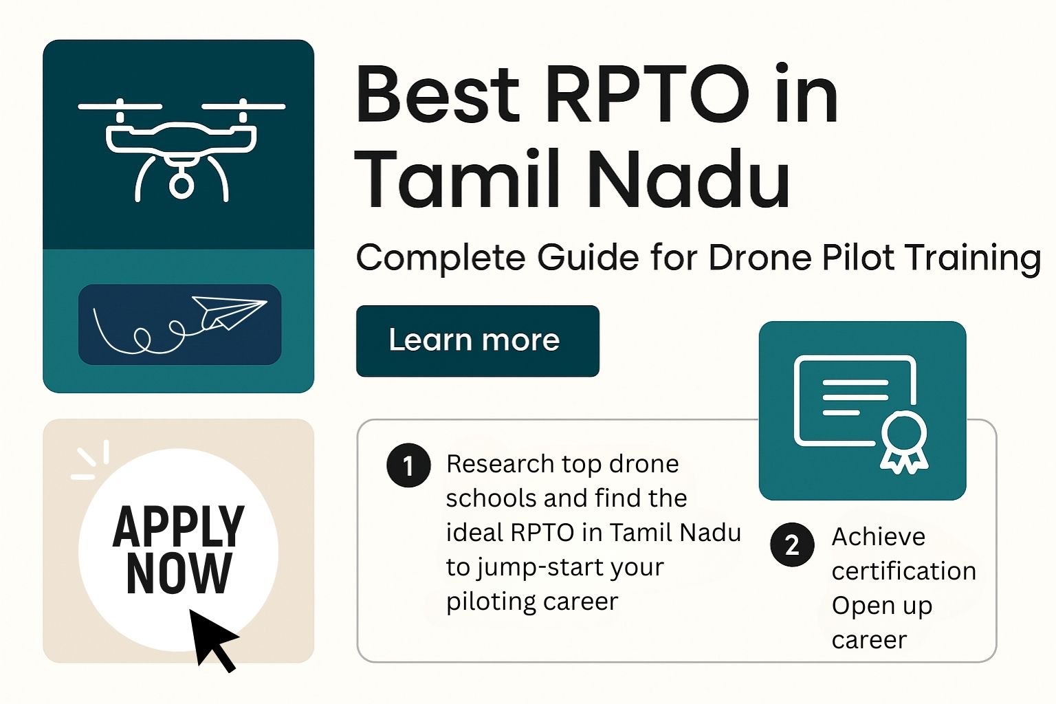
Best RPTO in Tamil Nadu – Complete Guide for Drone Pilot Training
September 3, 2025
Latest DGCA Drone Rules in 2025: A Simplified Guide for New Players
July 24, 2025
How Drone Consulting Services Can Accelerate UAV Deployment
July 24, 2025
The Rise of Drone Type Certification in India: What You Need to Know
July 24, 2025
WhatsApp us